
oceans aware: inform, inspire, involve
the more you know about the ocean the more you can do to protect and restore it
fisheries regulation
Fish obviously do not respect the maritime zones established by the United Nations Convention on the Law of the Sea (UNCLOS), moving instead from the waters of one State to another, crossing boundaries as they do. Transboundary stocks swim between Exclusive Economic Zones (EEZs), straddling stocks swim between EEZs and the High Seas and highly migratory fish stocks may traverse numerous EEZs as well as the High Seas. UNCLOS not only sets the maritime zones but also establishes the rights of States to exploit the fish stocks in waters under their jurisdiction or to sell licences to other States to do so.
In accordance with UNCLOS, States are obliged to exploit the living resources in their Exclusive Economic Zone in a sustainable way. Articles 117 and 118 of UNCLOS establish the fundamental principle of cooperation between States to ensure conservation and optimum management of fishery resources, both within and beyond areas under national jurisdiction. It calls on States to engage in global, regional and subregional cooperation in the management and conservation of fisheries, encouraging them to establish regional mechanisms. In 1992, ten years after UNCLOS was opened for signature but before it had entered into force, Agenda 21 called on States to cooperate in order to address inadequacies in fisheries practices, stating: “there are problems of unregulated fishing, over-capitalization, excessive fleet size, vessel reflagging to escape controls, insufficiently selective gear, unreliable databases, and lack of sufficient cooperation among countries.” In 1995 the United Nations went further with the United Nations Agreement for the Management of Straddling Fish Stocks and Highly Migratory Fish Stocks (which entered into force in 2001) which echoed the call, putting emphasis on regional fisheries management organizations and arrangements as the primary vehicle for cooperation between States (whether coastal or High Seas fishing States) in the conservation and management of straddling fish stocks and highly migratory fish stocks.
Since the first Regional Fishery Management Organizations (RFMOs) were established in the 1920s, the inclusion of the need for regional cooperation in UNCLOS and the Fish Stocks Agreement and the involvement of the United Nations via the FAO has led to the establishment of 52 RFMOs which either manage and conserve a particular fish stock, such as ICCAT, the International Commission for the Conservation of Atlantic Tunas, or cover a specific area of the ocean, such as NAFO the North Atlantic Fisheries Organization or CCAMLR, the Commission for the Conservation of Antarctic Marine Living Resources in the Southern Ocean.

FAO: RFMOs established to manage tuna stocks
See the FAO Regional Fishery Bodies Map Viewer
See the PEW factsheet on RFMOs
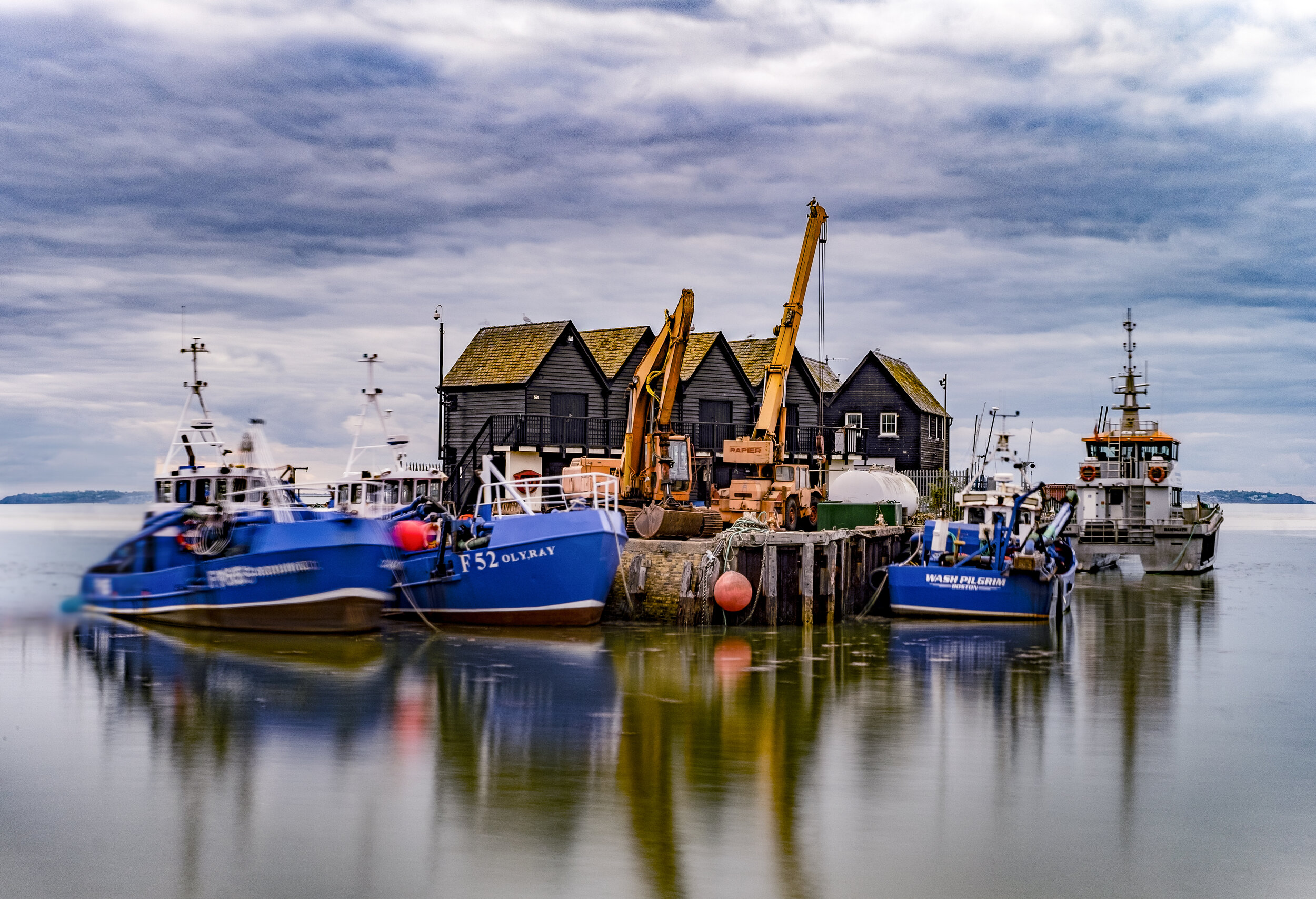
By way of example, the North East Atlantic Fisheries Commission (NEAFC) covers the North East Atlantic, an area of abundant fish stocks stretching from the southern tip of Greenland, east to the Barents Sea, and south to Portugal. According to their website, NEAFC’s objective is to ensure the long-term conservation and optimum utilisation of the fishery resources in the Convention Area, providing sustainable economic, environmental and social benefits. NEAFC adopts management measures for various fish stocks and control measures to ensure that they are properly implemented. NEAFC maintains a fully automated vessel monitoring system (VMS) database to support surveillance and inspection - the major element in monitoring and controlling vessels fishing in the area.
Large areas of the ocean are not however covered by an RFMO, such as the Arctic and Central and Southwest Atlantic, and in these areas regulation of fishing is left to the discretion of individual flag States. However, even those areas with an established RFMO do not necessarily ensure a sustainable management system. The work of RFMOs is often complicated by the sheer size of the region, deficient or unavailable data, inadequate systems of control and administration and are often hampered by the limited possibility to enforce conservation and management measures. This is where technology can step in, enabling States to control their waters in an efficient and effective way.

Global Fishing Watch: Global fishing activity in 2020 by vessels broadcasting automatic identification system
Recent developments in technology, coupled with new AI algorithms, show enormous potential for a vastly improved system of management for any ocean activity - not just fisheries. A multi-layered system involving satellites, cameras, radar, and above all enhanced data sharing and management, is already enabling States to have a much tighter control over fisheries activities, including transshipment, IUU fisheries, bycatch and even conditions on board vessels.
Satellite remote sensing: with vast areas to patrol, coastal States and regional fisheries management bodies are rarely equipped with the necessary vessels and manpower to provide adequate coverage of the waters under their jurisdiction. This is where the first level of technology comes in - satellite remote sensing which can track vessels via the transponders that most are obliged to carry, a Vehicle Monitoring System (VMS) for fishing vessels of (usually) more than 12 metres operating internationally (the flag State sets the specific requirements) and an Automatic Identification System (AIS) which the IMO SOLAS Convention obliges any vessel of more than 500 GT in weight or those over 300 GT if on an international voyage or carrying passengers to carry (and indeed many smaller vessels also carry an AIS as it has proved a useful collision avoidance system).
VMS was developed in the 1990s as a tool for monitoring, control and surveillance of fisheries vessels in an attempt to address concerns related to sovereignty issues and track vessels fishing illegally within coastal jurisdictions, the system is designed so that only flag States can receive, check and distribute data (for example to RFMOs). The VMS unit automatically sends data, including the vessel identification, its geographical position, the date and time of the position and the vessel’s course and speed, at set intervals to the flag State. Switching off the VMS would result in the vessel being recalled to port.
AIS meanwhile is a tool designed in the 2000s to increase navigational safety and maritime traffic management. The difference here lies in the sharing of data - AIS data is transmitted via VHF and is available to all and herein lies the challenge: anyone can see where a vessel is at any time. In order to avoid the potential risk of pirate attacks, AIS can be switched off if necessary, allowing vessels to ‘go dark’ and no longer be tracked.
In order to effectively monitor fisheries activity, it is useful to have both VMS and AIS data sets. More and more States are providing VMS data to organizations like Global Fishing Watch in an attempt to combat IUU fisheries, allowing them to compare VMS and AIS data sets and track vessels even if they do go dark.
An additional layer of information can be provide by satellites with high-resolution cameras and software able to detect, identify and track vessels. Some are also equipped with synthetic-aperture radar (SAR) sensors which send a radar ping down to the ocean, bouncing back up to the satellite with information collected from the ocean surface, thereby creating a new set of radar images. These can be used to detect vessels at night or in cloudy conditions when visual identification isn’t possible. Others use a visible infrared imaging radiometer suite (VIIRS) which can detect light emitted from vessels at night. By adding each layer of information together, vessel identification and activity can be tracked.
Radar: by involving the global fleet in the regulation of fisheries activities, maritime surveillance information can be be collected, amalgamating the navigation radar data of cooperating vessels, so-called ‘radar harvesting’. In this way a wide range of vessels can provide free, real-time, and high-resolution surveillance data.
Remote electronic monitoring (REM): vessels can be equipped with an array of sensors (for nets and fishing gear) and Closed-Circuit Television cameras, providing information on the size and species caught, the level of bycatch, even the conditions for crew on board. Fishers are often keen to work with REM as it provides reliable data for fisheries research to create a sustainable and healthy fishing sector.
Data sharing and analysis: putting all of this data together, analyzing and sharing it is the next step. With enormous amounts of data coming in from all over the world, AI can be used to identify the location and movement of vessels (specific patterns generally relate to specific types of fishing), if a vessel came in close contact with another vessel, and how its movements compare with previous activity - all allowing the coast guard or navy to focus their surveillance missions.
The lead organization in this field is Global Fishing Watch which, according to their website “seeks to advance ocean governance through increased transparency of human activity at sea. By creating and publicly sharing map visualizations, data and analysis tools, we enable scientific research and drive a transformation in how we manage our ocean.”